Residential buildings across the United States are exposed to very different combinations of environmental risk. A home in northern New England must contend with winter cold, snow, ice, and freeze-related stresses, while a residence along the Gulf Coast may face hurricanes, wind-driven rain, flooding, and storm surge. In the Southwest, prolonged extreme heat can place sustained pressure on the building envelope, cooling equipment, and electrical infrastructure, while homes in the wildland-urban interface may face wildfire and windborne ember exposure. The same adaptation strategy therefore cannot be assumed to provide equal protection in every location.
Turning these regional hazards into useful residential decisions requires more than identifying which disasters occur in a particular state or county. A meaningful assessment connects the hazard to the property's actual exposure, identifies the building components most susceptible to damage or loss of function, considers the consequences of failure, and then ranks potential interventions according to safety, urgency, cost, and expected risk reduction. This hazard-to-home framework helps distinguish broad regional risk from the specific vulnerabilities that determine how an individual residence is likely to perform under severe conditions.
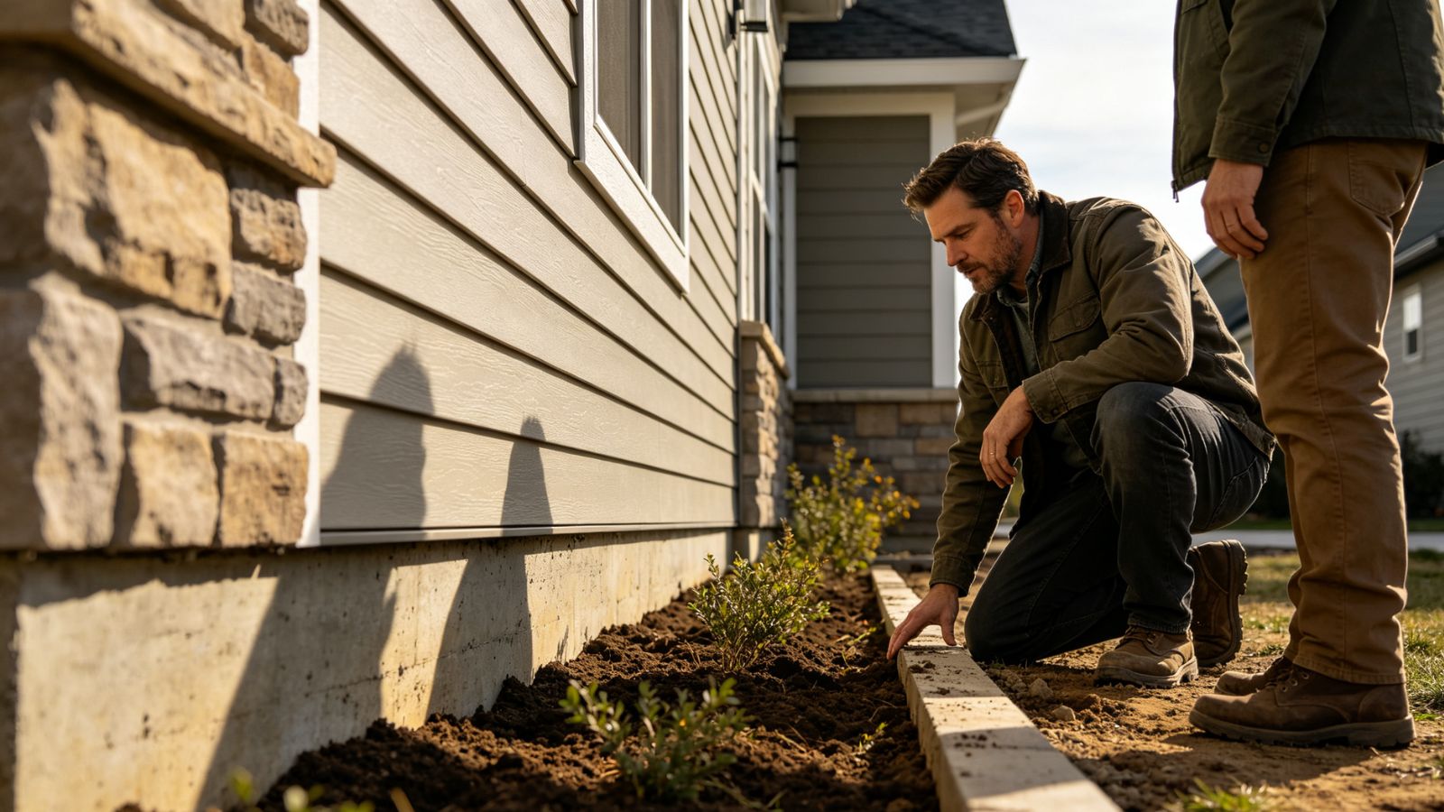
The first step is to distinguish a hazard from a property's actual exposure. A region may be classified as vulnerable to extreme heat, flooding, wildfire, or high winds, but that classification does not by itself determine how severely a particular home will be affected. Local elevation, terrain, vegetation, building orientation, surrounding structures, drainage characteristics, and proximity to coastlines or waterways can materially change the exposure of one property relative to another nearby.
Extreme heat provides a useful example. Two houses in the same metropolitan area can experience similar outdoor temperatures while facing very different indoor conditions. A residence with a well-insulated attic, effective exterior shading, efficient windows, and appropriately sized mechanical equipment may maintain indoor temperatures with relatively moderate cooling demand. Another house with a poorly insulated roof assembly, substantial solar gain, air leakage, and aging cooling equipment can experience much greater thermal stress during the same weather event. The regional hazard is identical, but the property's exposure and response are not.
Wildfire presents an even clearer distinction between regional and property-level risk. A home located within a wildfire-prone region is not automatically exposed to the same level of ember or flame risk as every other property in that region. Slope, vegetation density, nearby combustible materials, roof characteristics, vents, decks, and other features can influence the pathways through which windborne embers reach and potentially ignite a structure. For this reason, useful resilience planning should move from a broad hazard map toward property-specific exposure characteristics rather than treating a county or climate zone as a uniform risk environment.
Flooding follows the same principle. A coastal or inland flood designation establishes an important regional context, but site elevation, drainage, foundation type, basement configuration, and the location of electrical and mechanical equipment determine how water may interact with a particular building. Two houses on the same street can therefore experience substantially different consequences from the same flood event.
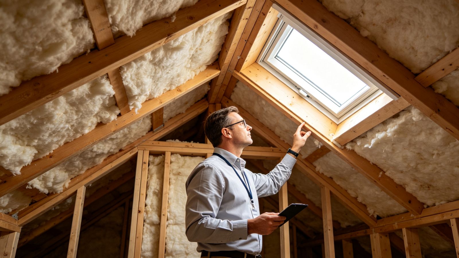
Once exposure has been established, the next question is where the building is most likely to experience damage or loss of function. Residential vulnerability is rarely concentrated in a single component. It usually emerges from the interaction of the building envelope, structural connections, mechanical systems, electrical equipment, and site conditions.
During extreme heat, for example, vulnerability is not simply a matter of whether an air conditioner is old. Cooling demand is affected by insulation levels, air leakage, window performance, solar exposure, internal heat gains, duct conditions, equipment capacity, and the thermal characteristics of the building itself. A weak envelope can increase HVAC runtime and electricity demand, while an aging or poorly maintained system may have difficulty maintaining the desired indoor temperature during unusually severe conditions. The resulting problem is therefore a combined building-and-equipment vulnerability rather than a failure attributable to one appliance.
High-wind events illustrate why examining the entire structural load path is important. In hurricane-prone areas, potential vulnerabilities can occur at roof coverings, roof sheathing attachments, roof-to-wall connections, wall assemblies, openings, and wall-to-foundation connections. Weak or improperly connected components can increase the likelihood of structural damage as wind loads become severe, while damaged windows and doors can also create pathways for wind and rain to enter the building. A resilience assessment is therefore more useful when it examines how forces are transferred through the structure instead of focusing on a single type of hardware.
Wildfire vulnerability similarly extends beyond the roof material alone. Windborne embers can reach roofs, vents, decks, eaves, and other areas where combustible materials or vulnerable construction details may create ignition pathways. Measures that reduce these pathways can be more directly related to wildfire resilience than generic upgrades intended primarily to improve energy efficiency. The same principle applies to flooding, where the location and vulnerability of electrical panels, heating equipment, water heaters, and other essential systems can determine whether a building retains critical services after water enters the structure.
This distinction is important because a component can be highly efficient during normal operation while remaining vulnerable to a particular hazard. A high-efficiency HVAC system does not automatically make a house resilient to a prolonged power outage, and additional insulation does not eliminate flood exposure. Resilience planning therefore has to evaluate what can fail, why it can fail, and what happens when it does, rather than treating energy performance as a substitute for hazard resistance.
A useful way to organize residential adaptation is to move through a consistent sequence: hazard, exposure, vulnerability, consequence, priority, and intervention. This framework prevents adaptation decisions from jumping directly from a regional hazard label to a specific product or retrofit without considering the intermediate factors that determine whether that intervention actually addresses the dominant risk.
The hazard establishes the environmental stress being considered, such as extreme heat, wildfire, flooding, hurricanes, severe wind, or winter weather. Exposure then asks how strongly the particular property is affected by that hazard, taking into account location, elevation, terrain, vegetation, weather patterns, and other site characteristics. Vulnerability identifies the building components or systems most likely to be damaged or lose function. The consequence stage considers what that failure would mean for structural integrity, occupant safety, habitability, electrical service, or access to essential systems.
Only after those questions have been answered should an adaptation priority be established and an appropriate intervention selected. For example, a flood-exposed home with electrical equipment installed in a vulnerable low-level location may have a different first priority from a heat-exposed home whose primary weakness is an inadequate building envelope. Similarly, a wildfire-exposed property may receive greater risk reduction from addressing vulnerable vents, roof edges, and nearby combustible materials than from installing a more efficient air-conditioning system.
This sequence also helps prevent a common mistake in residential resilience planning: choosing an upgrade because it is generally considered beneficial rather than because it addresses the property's most consequential vulnerability. Energy efficiency, durability, and resilience can overlap, but they are not interchangeable objectives. A retrofit should be evaluated according to the hazard it addresses and the failure pathway it is intended to interrupt.
Most homeowners cannot address every potential vulnerability at once, particularly when structural improvements, mechanical upgrades, and site modifications require significant investment. A useful prioritization process therefore considers more than expected energy savings or the initial cost of a project. Life safety, potential severity of damage, likelihood of exposure, continuity of essential services, implementation difficulty, and the useful life of the improvement can all affect the order in which work should be performed.
Measures that reduce the possibility of catastrophic structural damage or protect occupants generally deserve attention before upgrades whose primary benefit is economic optimization. In a hurricane-prone location, for example, improving vulnerable structural connections or protecting critical openings may have greater resilience value than replacing functioning equipment solely because a newer model is more efficient. In a wildfire-prone area, addressing readily identifiable ignition pathways may take precedence over discretionary efficiency improvements. In a flood-prone home, protecting or relocating vulnerable electrical and mechanical equipment can be more consequential than reducing routine electricity consumption.
The second layer involves preserving habitability and essential building functions during severe conditions. Building-envelope improvements can reduce heat transfer, limit unwanted air movement, and improve the ability of a home to maintain more stable indoor conditions. Passive survivability—the ability of a building to maintain tolerable indoor conditions for a period of time during power outages or equipment failures—can depend on insulation, shading, thermal mass, ventilation strategies, and other design characteristics. These measures can become particularly important when extreme weather coincides with an interruption of mechanical cooling or heating.
Efficiency and operating-cost improvements can then complement these resilience measures. High-efficiency HVAC equipment, improved water heating systems, solar generation, or energy storage may reduce normal electrical demand or improve the availability of essential electrical services when appropriately designed. Their value, however, should be evaluated in relation to the property's actual resilience objectives rather than assumed to provide protection simply because they reduce energy consumption.

Regional hazard maps provide an essential starting point, but they rarely contain enough information to determine the appropriate retrofit for an individual residence. Local topography, building age, construction practices, utility infrastructure, drainage characteristics, vegetation, and previous damage patterns can all influence vulnerability. Even within the same climate zone, homes may have substantially different construction details and mechanical configurations.
Building codes and engineering standards provide another layer of information. Codes establish minimum requirements for particular construction contexts, but compliance with a current code should not automatically be interpreted as proof that a building has no resilience weaknesses. Existing homes may have been constructed under earlier requirements, altered over time, or maintained in ways that change their current condition. A property-level assessment therefore needs to consider both the requirements that applied when the building was constructed and the physical condition that exists today.
Forward-looking climate information can also improve long-term planning. Historical weather records remain valuable for establishing local baseline conditions and understanding past extremes, but they are not necessarily sufficient by themselves for evaluating future exposure. Long-term resilience planning can combine historical observations with hazard assessments, updated design criteria, local maps, and credible projections of changing temperature, precipitation, or other environmental conditions. The objective is not to predict the exact weather a particular house will experience decades from now, but to avoid making long-lived investments based exclusively on assumptions that may no longer represent the range of conditions the building could encounter.
The greatest value of residential hazard mapping comes when the analysis produces a clear decision sequence rather than simply a list of potential risks. A homeowner or building professional can begin with the dominant local hazards, examine the property's exposure, identify vulnerable components, estimate the consequences of failure, and then rank interventions according to risk reduction and practicality. This process creates a defensible connection between the environmental threat and the work proposed for the building.
The sequence can also reveal interactions between different improvements. For example, envelope upgrades may reduce cooling demand during extreme heat while also improving indoor temperature stability during shorter power interruptions. Relocating vulnerable electrical equipment in a flood-prone building may improve resilience without changing normal electricity consumption. Similarly, improvements to structural connections may have little effect on monthly utility bills but provide substantially greater protection against a high-consequence wind event. These distinctions make it easier to evaluate projects according to their actual purpose rather than forcing every improvement into an energy-efficiency framework.
Ultimately, regional climate risk becomes useful at the residential level only when it is translated into physical building conditions and prioritized according to consequences. A regional map can identify where hazards are more likely, but it cannot by itself determine which component of a particular home is most vulnerable or which retrofit should come first. The more rigorous approach is to connect hazard to exposure, exposure to vulnerability, vulnerability to consequence, and consequence to intervention. That framework gives homeowners, auditors, designers, and resilience planners a practical way to make adaptation decisions that reflect the actual characteristics of the property rather than relying on broad regional assumptions.
For long-term residential planning, this distinction is increasingly important. A resilient home is not simply one with more efficient equipment or more durable materials; it is a building whose major vulnerabilities have been identified in relation to the hazards it actually faces, with limited resources directed toward the failures that would matter most. By combining regional hazard information with property-level observations, building characteristics, mechanical systems, and forward-looking risk assessments, adaptation planning can become more targeted, technically defensible, and useful over the full service life of the home.
